Analysis on remote sensing, climate, water, disasters and energy infrastructure, plus news from SC&P.
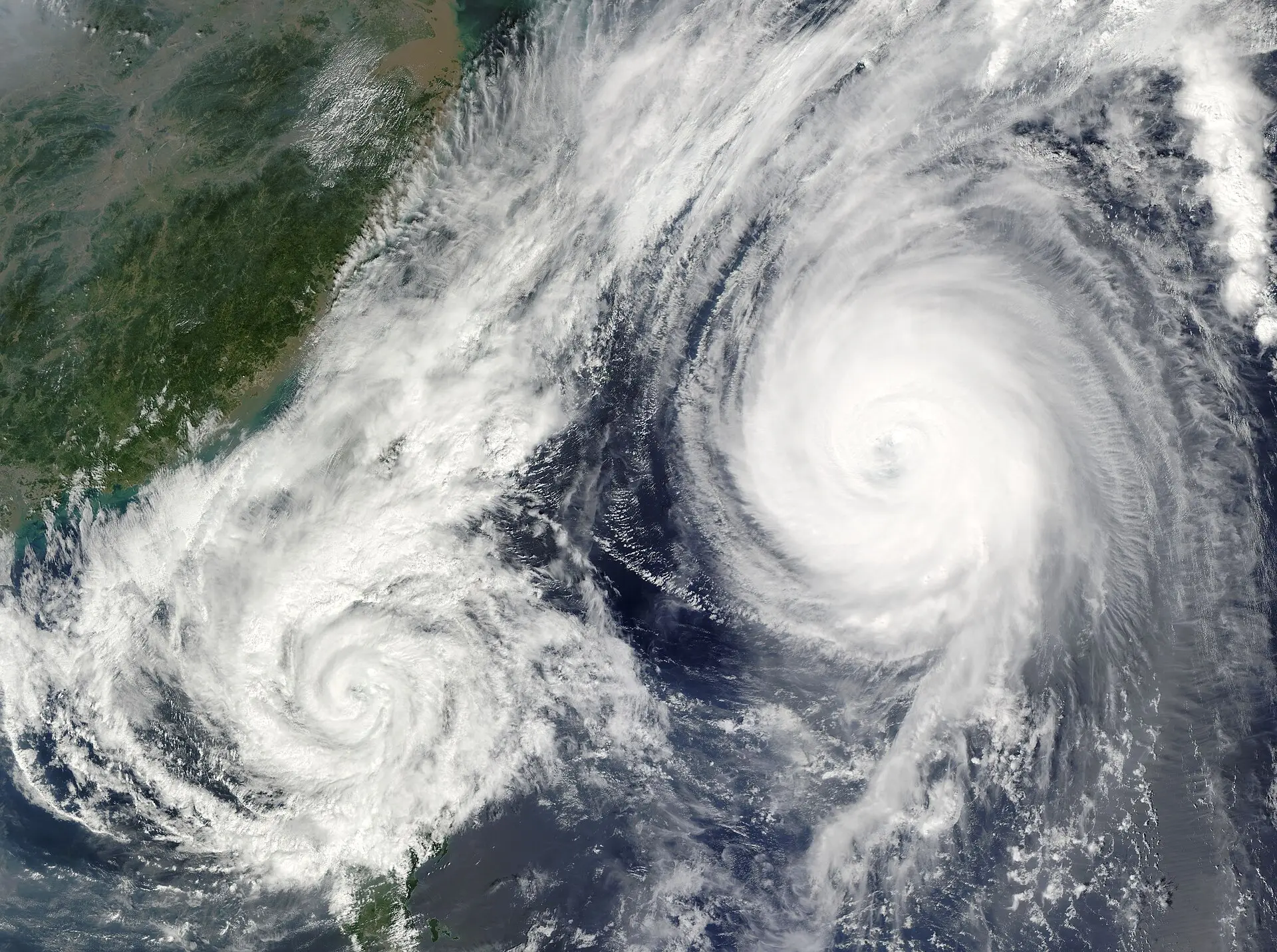
Artificial intelligence and high-frequency satellite data accelerate the intensity prediction of extreme weather events like typhoons, strengthening early warning systems. This allows decision-makers to assess risks sooner and implement…
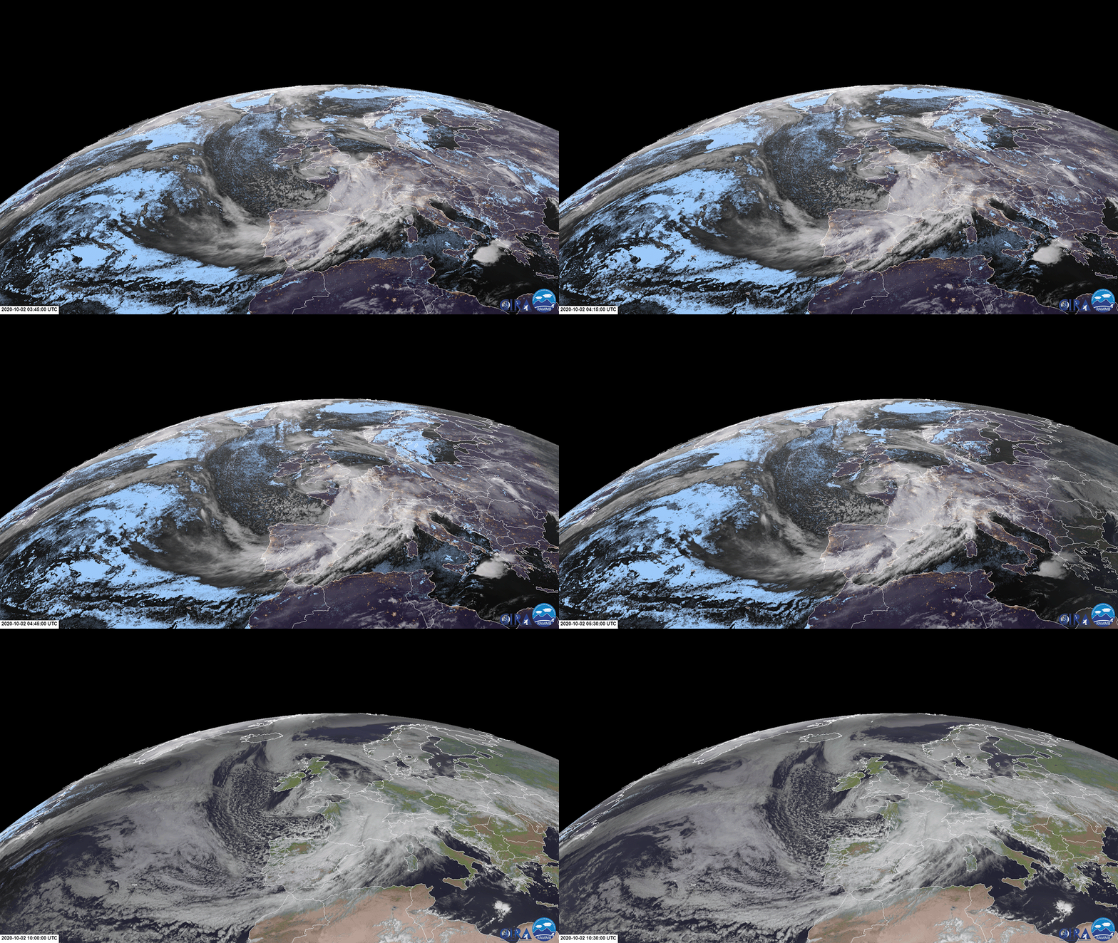
Satellite-based atmospheric observations strengthen risk assessment and rapid response planning for local governments and emergency teams.
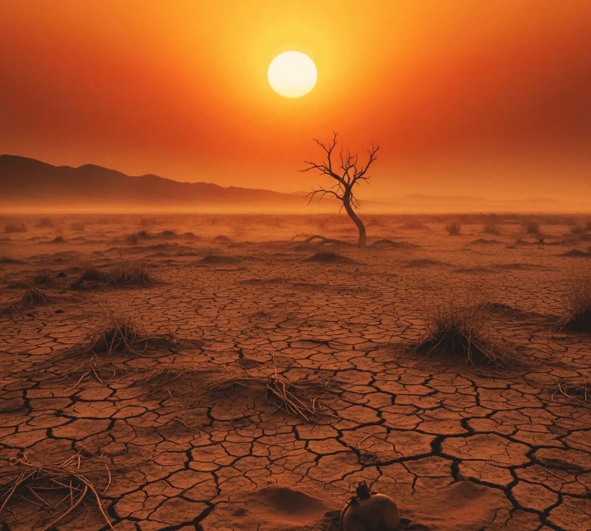
Read moreTurkey's climate future in light of NASA and Copernicus data: a +2.75°C rise in summer temperatures and the risk of crossing the global 1.5°C threshold by 2029.
Read more21 years of climate data for Antalya reveal a worrying fact: inland areas are warming twice as fast as the coast. Regional risks, future projections and sustainable strategies.
Read moreLake Eber has dried up completely, shrinking to 0.001 km². Lake Manyas lost 65% of its area in a year. The latest data from our AI and satellite system monitoring 8 critical lakes.
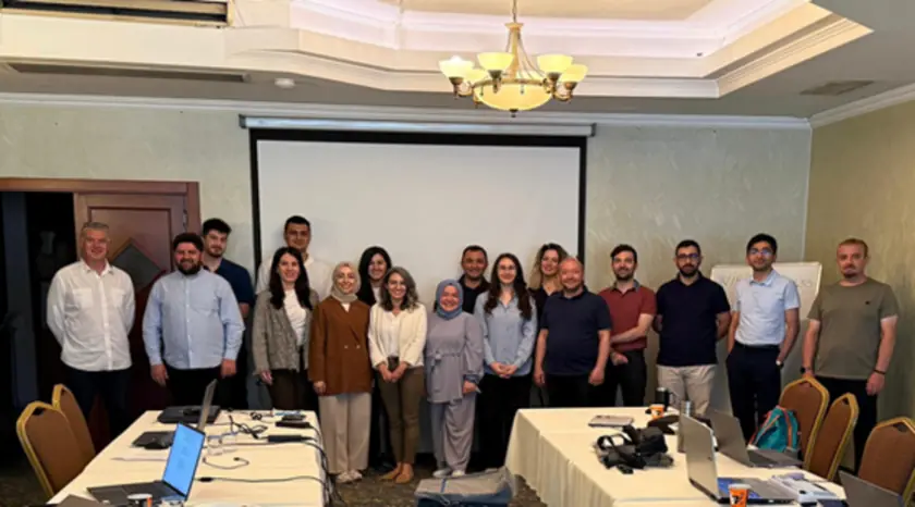
Read moreUnder the Turkey Desertification Model, SCP delivered a Desertification Susceptibility and Hazard Mapping training programme for ÇEMGM staff, strengthening data-driven, technology-based approaches to desertification risk.
Read moreMonitoring environmental change in İzmir Bay with chlorophyll-a analysis: what satellite data reveal about phytoplankton density, eutrophication and marine ecosystem health, and how to protect the Bay.
Read moreSuspended matter in seawater is a critical indicator of ecosystem health. Using satellite data from 25 November 2024, we analysed its distribution along the Mersin and Samsun coasts.
Read moreLand use and land cover (LULC) mapping provides critical data for sustainability and planning, and future projections support solutions for climate change and resource management.
Read more