Real-Time Atmospheric Monitoring with Satellite Data and Early Disaster Warning
3 min readSmart City & Partners
The Importance of Real-Time Atmospheric Observations
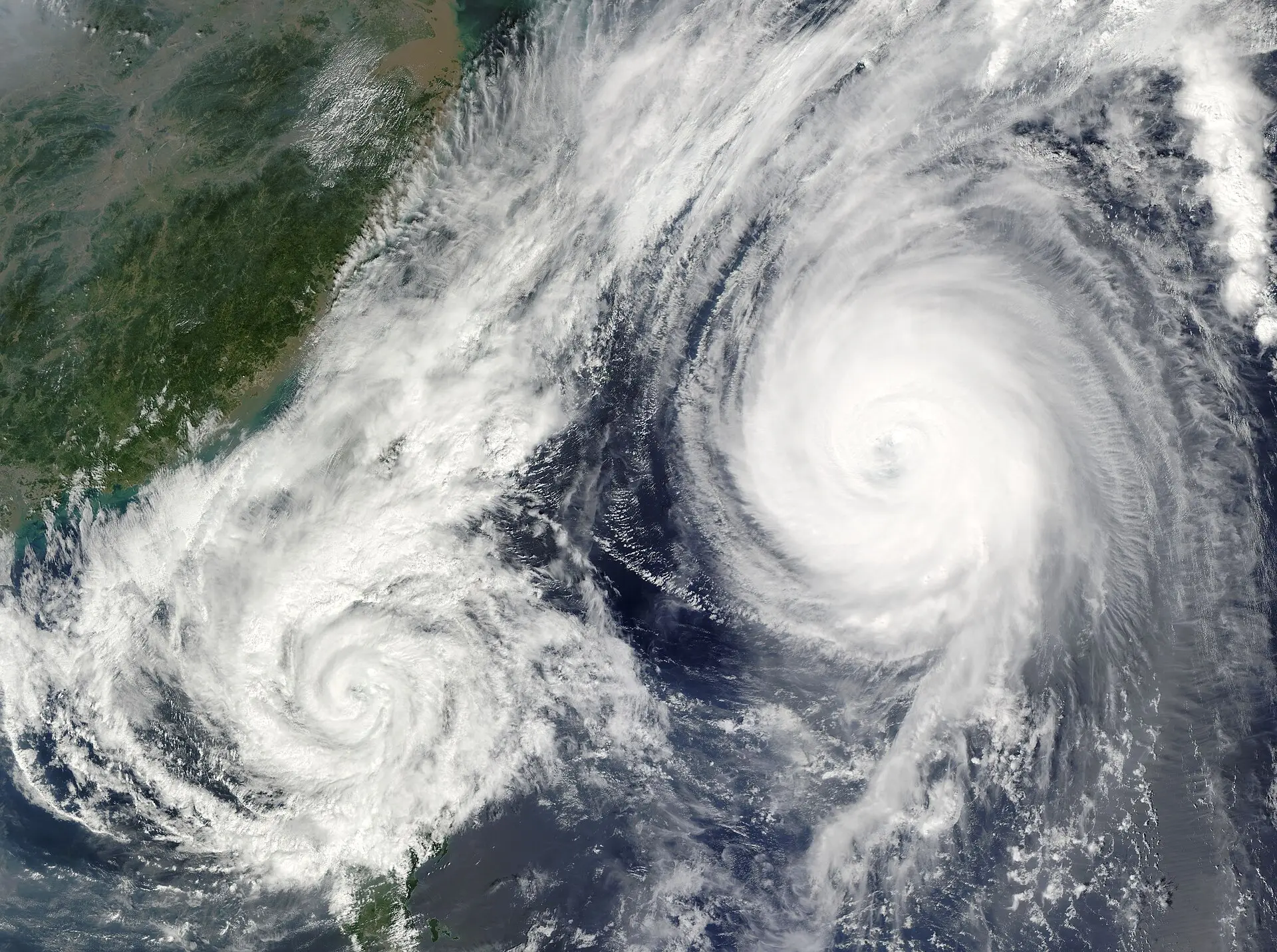
As climate change and extreme weather events become more frequent, real-time atmospheric information is a vital requirement for municipalities and emergency teams. Instant observations enable early detection of dangerous conditions such as floods, storms, and heavy rainfall, allowing warning systems to activate earlier and more effectively. In this context, high‑resolution images and meteorological parameters derived from satellite data give decision‑makers the ability to develop rapid, science‑based response plans.

Atmospheric Monitoring with Satellite Data: Technical Foundations
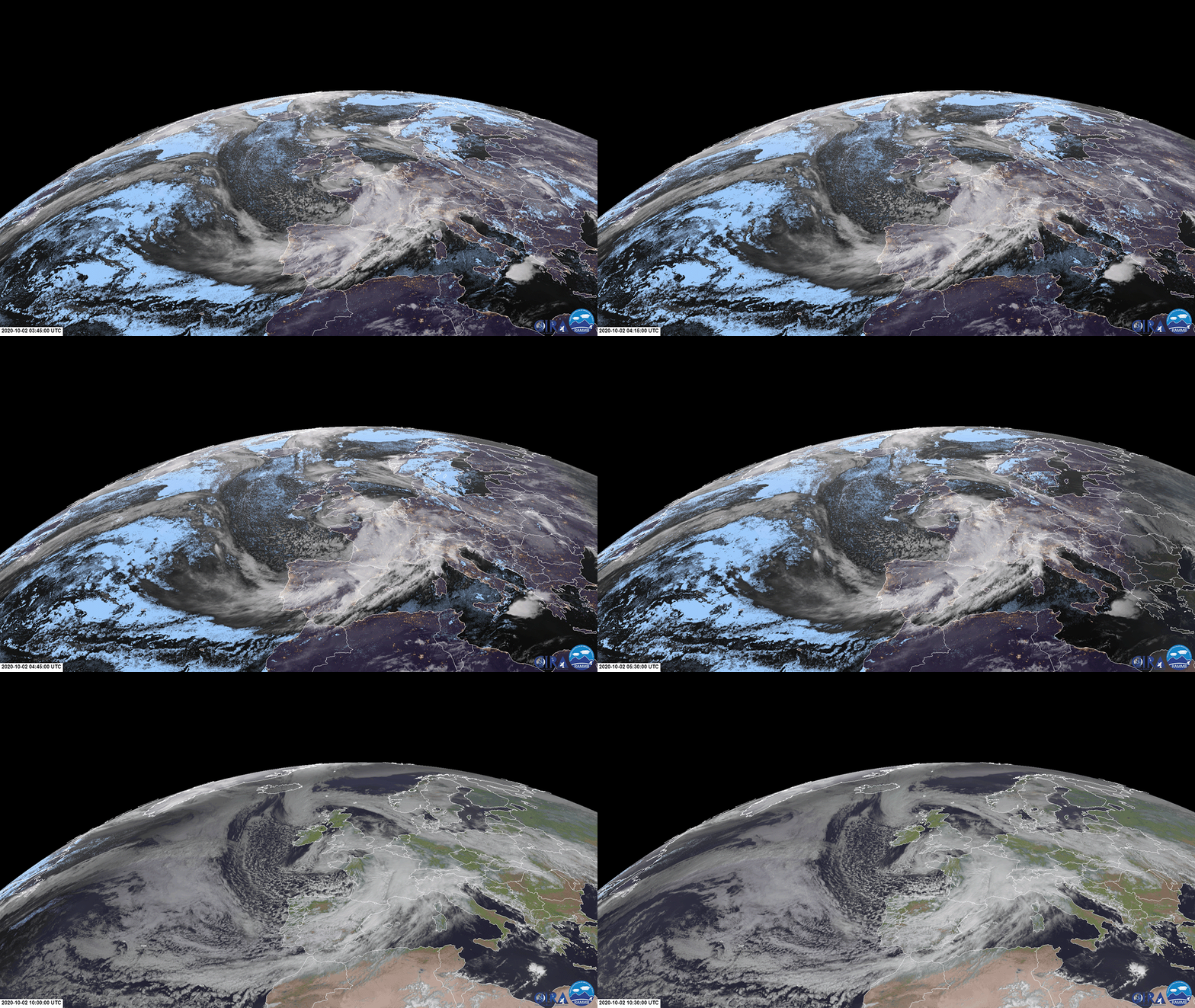
Remote‑sensing platforms, especially optical and radio‑frequency sensors (e.g., Meteosat‑12’s FCI imager), monitor critical atmospheric variables such as cloud cover, precipitation amount, and wind speed in near real‑time. Data provided by EUMETSAT offers hourly updates thanks to its high temporal resolution, aiding the early identification of rapidly developing storms.
- Optical Images: Visible and near‑infrared channels detect cloud structures and precipitation areas. Meteosat‑12’s FCI (Full‑Colour Imager) captured, on 11 November 2026, a clear view of the intense rain and wind fields associated with Storm Charles before it reached the Iberian Peninsula (EUMETSAT source).
- Radio Frequency and SAR: Radar sensors measure surface movements beneath clouds, helping to determine precipitation intensity and flood risk.
- 4D Data Integration: The MTG (Meteosat Third Generation) platform’s sounder‑imager combination merges atmospheric profile data over time, enabling simultaneous monitoring of vertical and horizontal motions. This technology is used to close forecasting gaps in Georgia and to track storms across Eastern Europe, the Balkans, and the Caucasus (EUMETSAT source).
These data allow mapping of cloud types, precipitation intensity (mm/h), wind speed (km/h), and atmospheric humidity, feeding real‑time weather models. Model outputs are then transmitted as instant alerts to emergency operation centres.
Early Warning and Rapid Response: Practical Outcomes
By integrating such remote‑sensing data, local authorities gain the following benefits:
- Updating Risk Maps: Real‑time rain and wind data continuously refresh flood‑risk maps, accelerating evacuation decisions at the neighbourhood level.
- Automating Alert Systems: When threshold values (e.g., 200 mm of rain) are exceeded, the system automatically triggers SMS, mobile‑app, and siren warnings.
- Optimising Response Resources: High‑risk areas are identified quickly, allowing rescue teams, ambulances, and fire units to be pre‑positioned.
- Public Information and Transparency: Open‑data platforms let citizens access up‑to‑date weather maps, enhancing community resilience.
SC&P leverages remote sensing and AI integration within its EyeOnBlue Risk portal to map climate‑related hazards such as forest fires, floods, and drought. By processing Meteosat and MTG data, the platform provides local governments with instant risk indicators, enabling data‑driven emergency response plans.
Conclusion: Satellite‑Based Monitoring, the New Power of Local Governments
Satellite data is a critical source for early detection of atmospheric events and swift response planning. Real‑time imagery and the instantaneous tracking of parameters like precipitation and wind close forecasting gaps and automate alert mechanisms. Municipalities, emergency teams, and other local authorities can use this information to update risk maps, activate warning mechanisms, and optimise resource allocation, thereby reducing disaster impacts. SC&P’s EyeOnBlue Risk solution delivers concrete, timely insights through AI‑enhanced analysis, strengthening Turkey’s and the region’s disaster‑management capacity.