AI and High-Frequency Satellite Data for Extreme Weather Event Intensity Prediction
5 min readSmart City & Partners
Enhancing Extreme Weather Event Intensity Prediction with AI and High-Frequency Satellite Data
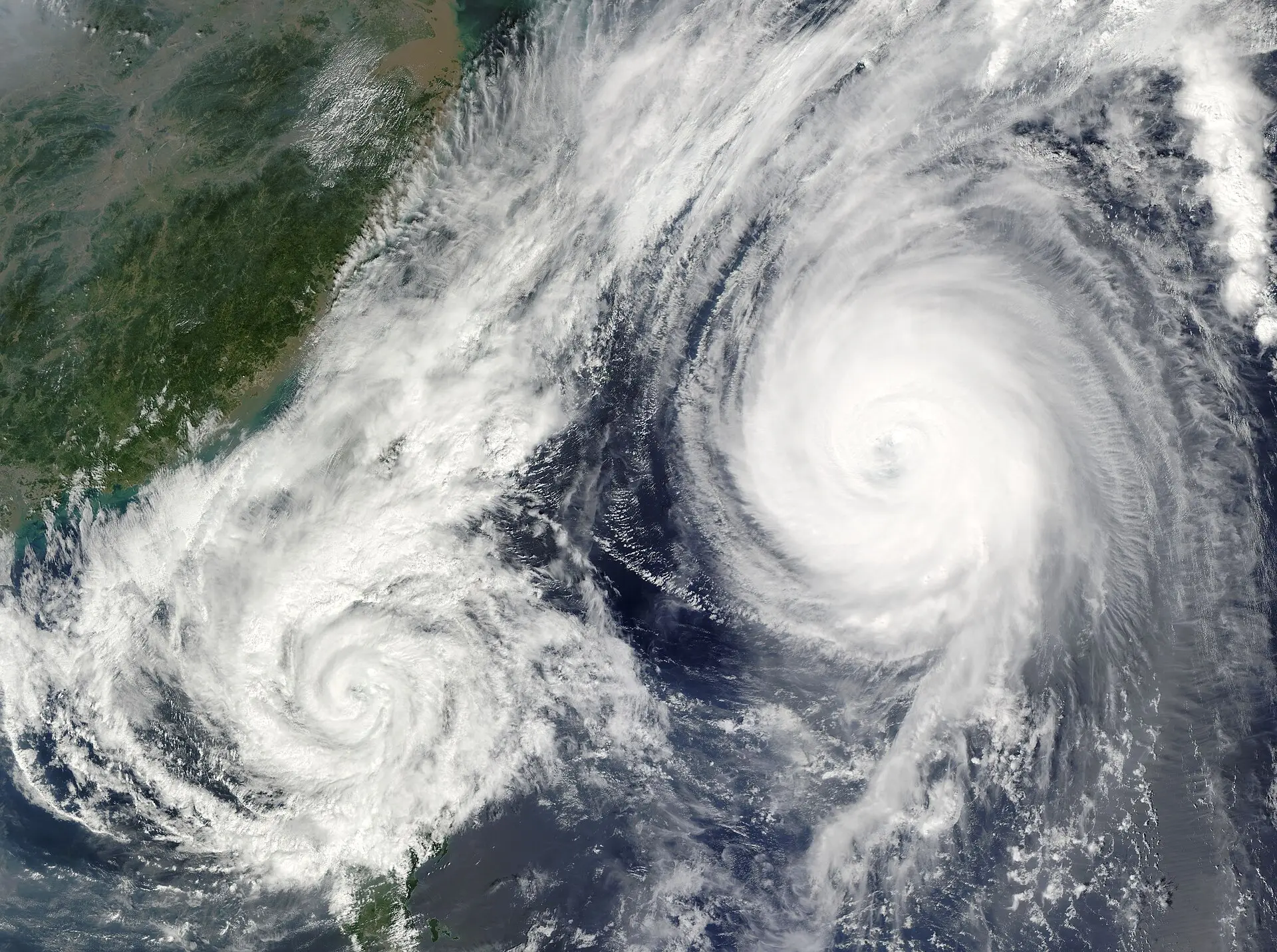
Extreme weather events like typhoons cause significant loss of life and property worldwide every year, posing a serious threat to communities. While substantial progress has been made in predicting the path, speed, and landfall of these destructive events, accurately forecasting how quickly a storm will intensify or weaken – known as intensity prediction – remains a major challenge. However, AI-powered high-frequency satellite data holds the potential to bridge this critical gap, strengthening early warning systems and enabling decision-makers to assess risks sooner and take effective measures.

Monitoring and Predicting Storm Intensity with Satellite Data
Between 1970 and 2019, tropical cyclones caused approximately 780,000 deaths and an estimated $1.4 trillion in economic losses globally. As coastal populations continue to grow and climate change accelerates, accurate predictions are vital for saving lives and mitigating economic damage. Weather forecasting models rely on data collected from satellites, stationary buoys, and other observation systems to determine the path, speed, and landfall location of these cyclones. According to research published in Eos, storm path predictions have seen an average improvement of one day per decade; however, accurately capturing sudden storm intensification or weakening remains challenging.
To address this gap, Xia and his team developed a wind rotation indicator using observations from the Fengyun-4B geostationary satellite. This satellite provides wind estimations at intervals as short as 1 minute, compared to the 10-15 minute intervals offered by typical satellite sources. Analyzing 12 typhoons from 2022 to 2025, researchers calculated the area-averaged upper-level vorticity (VORm), which measures wind rotation within 100 kilometers of the typhoon's center. VORm can closely monitor the evolution of tropical cyclone intensity and reveal rapid structural changes in a storm – details difficult to capture with less frequent observations. The inclusion of this VORm information in forecasting reduced 6-hour prediction errors on average. This clearly demonstrates the potential of high-frequency satellite observations to improve short-term typhoon intensity prediction.
The Role of Remote Sensing and Artificial Intelligence
Just as critical as collecting high-frequency satellite data is processing these massive datasets and transforming them into meaningful information. Artificial intelligence (AI) is met with increasing confidence in the commercial space industry and is accelerating the evolution of satellites, as noted by SpaceNews. AI algorithms can analyze rapid-scan wind data from satellites like Fengyun-4B to instantly calculate indicators such as VORm, enhancing the ability to detect rapid changes in storm intensity. This, in turn, allows for the generation of more accurate and timely early warnings.
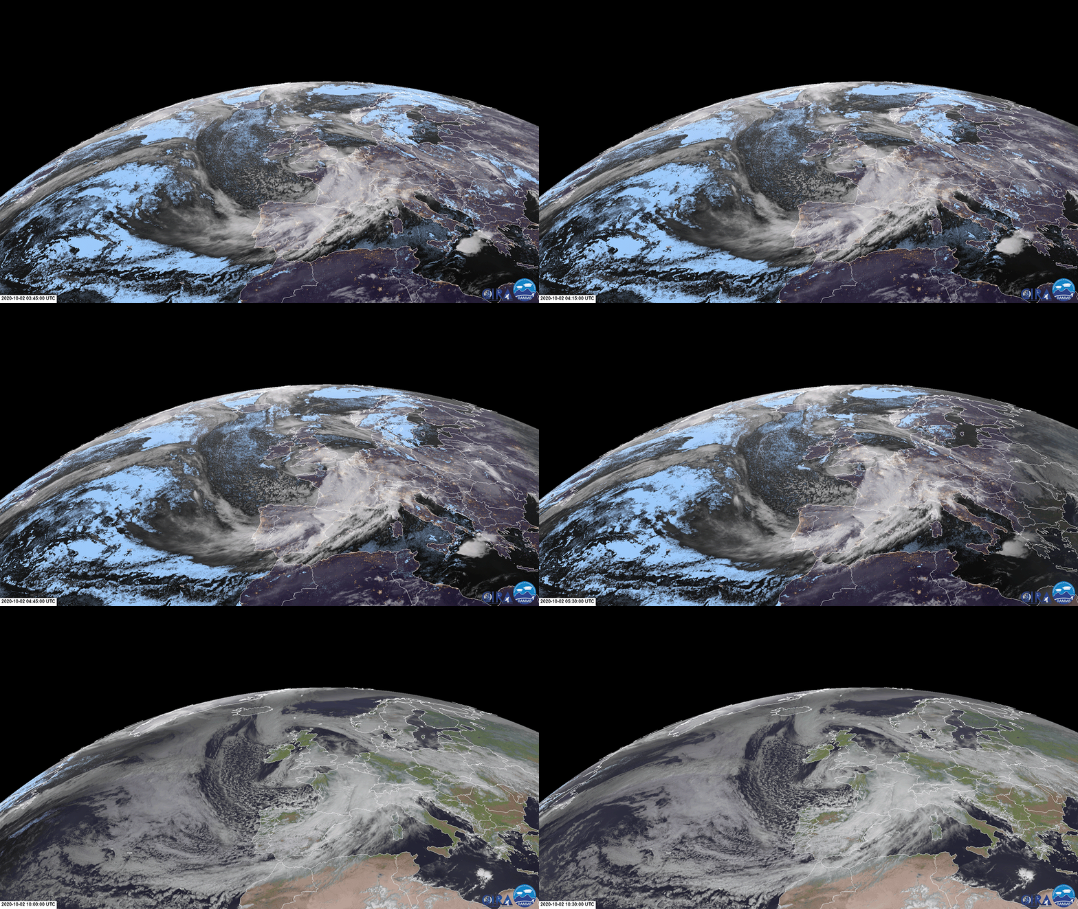
Satellites like Copernicus Sentinel-3C are also expanding remote sensing capabilities, making significant contributions to extreme weather and climate change monitoring. According to EUMETSAT's announcement, Sentinel-3C's Sea and Land Surface Temperature Radiometer (SLSTR) instrument measures the Earth's surface temperature with extreme precision using shortwave and thermal infrared images. SLSTR can read the temperatures of land, sea, ice, and cloud tops with an accuracy of a few tenths of a degree. This precision is critical for the forecasting models relied upon by European weather services and for climate monitoring studies such as El Niño, marine heatwaves, and long-term ocean warming.
SLSTR data also has the ability to report where and how intensely wildfires are burning to civil protection authorities within hours. For example, fires detected on Indonesia's Sulawesi island or detailed temperature maps of glaciers and cold waters between Greenland and Iceland demonstrate the versatility of this instrument. Thanks to Sentinel-3C's dual-view capability, sea and sea ice temperatures can be measured with extreme accuracy, assisting scientists in tracking the rapid warming of polar regions. When combined with AI algorithms, such detailed and frequent observations can provide deeper insights into the thermal structure and energy dynamics of storm systems, further improving intensity predictions.
Practical Solutions and Early Warning Strategies for Decision-Makers
Accurate and high-frequency information obtained through advanced satellite technologies and AI-powered analyses offers tangible benefits for a wide range of organizations, from municipalities and energy and water utilities to decision-makers in the insurance and finance, mining, agriculture, and environmental sectors. Earlier and more reliable storm intensity predictions enable proactive steps in disaster management.
- Municipalities and Public Administration: Early warnings allow for more efficient implementation of evacuation plans, mobilization of emergency teams, and measures to protect critical infrastructure. Potential damage zones can be more accurately identified, enabling effective resource allocation.
- Energy and Water Utilities: Damage that severe storms could inflict on power lines, production facilities, or water resources can be identified in advance. This allows for necessary preparations to minimize outages and expedite repair processes. Flood risks to dams and water reservoirs can also be better managed.
- Insurance and Finance Sector: Accurate intensity predictions improve risk assessment models. Insurance companies can price their policies more realistically and strengthen their financial stability by anticipating potential claims.
- Mining and Agriculture Sector: Environmental impacts such as ground movements in mining areas or drought/flood risks in agricultural lands can be better understood and managed in the context of severe weather events. Critical decisions for agriculture, like planting and harvest timings, can be optimized by considering climate risks.
- Environmental Management: Climate-related disasters such as forest fire risks, floods, droughts, and landslides can be monitored more effectively with precise satellite data and AI analyses. This enables rapid interventions to prevent biodiversity loss and protect ecosystems.
Companies like Smart City & Partners address this need by processing satellite data (optical, SAR, multispectral, InSAR) with artificial intelligence to produce environmental risk monitoring and early warning solutions. The EyeOnBlue product family provides decision-makers with real-time and actionable insights in various areas such as infrastructure, water resources, risk management, and energy facilities.
In conclusion, the combination of artificial intelligence with high-frequency satellite data is a critical step towards transforming extreme weather event intensity prediction, making communities more resilient to the destructive impacts of these events. The insights gained through these technologies hold the potential to reduce global loss of life and property.