How Will Nature and Buildings Change in Our Cities?
3 min readSmart City & Partners
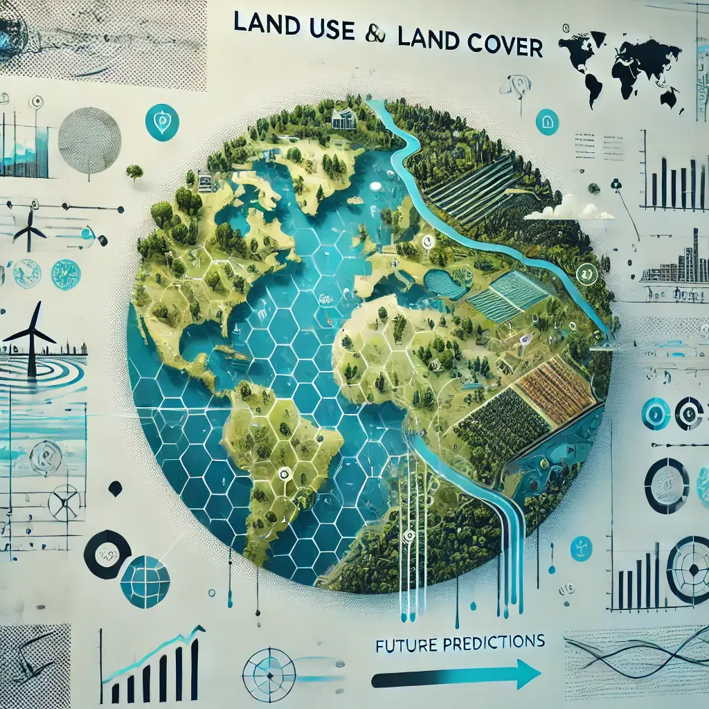
Today, understanding and predicting land use and land cover (LULC) change matters more than ever. The images in this article show the transformations that LULC analyses project for different regions. Projections made with models such as MOLUSCE, Markov-CA and CA-ANN help us prepare for the future in many areas, from ecosystems to urban planning. So why is mapping land use so important, and what are the benefits of predicting the future?

Why Land Use and Land Cover Mapping Matters
LULC mapping shows how land in a region is used and what its natural characteristics are. By providing a wide range of data, from forests and water bodies to farmland and urban areas, it gives access to critical information in many fields:
1. Environmental protection: Understanding the distribution of natural areas such as forests and water bodies is the basis of conservation work. Identifying dense forest areas, for example, supports efforts to protect biodiversity.
2. Sustainable urban planning: Rapid urbanisation can harm the environment and quality of life. LULC maps let planners analyse the balance between natural and built environments and help them design more sustainable cities.
3. Agricultural management: Agriculture depends heavily on land quality and suitability. By tracking changes in farmland, LULC analysis helps farmers and policymakers make informed decisions on crop rotation, irrigation and soil conservation.
4. Disaster management and climate resilience: In regions prone to floods or droughts, LULC maps play a critical role in identifying high-risk areas. Deforestation can increase flood risk, for example, while urban sprawl can raise temperatures in cities.
Why Predict Future Land Use?
Predicting future LULC scenarios is vital for proactive decision-making. Models such as Markov-CA, CA-ANN and MOLUSCE build possible future scenarios based on historical data. These projections contribute greatly to sustainability, economic planning and environmental protection.

1. Adapting to climate change: As climate impacts grow, changes in land use patterns become more pronounced. Projection models let us anticipate changes that could affect agriculture, water resources and natural habitats, so that strategies can be developed in response.
2. Resource allocation and planning: Understanding future LULC change is important for planning resources such as water and energy. If a decline in farmland is projected, for example, efforts to increase productivity in that area can be prioritised.
3. Reducing negative environmental impacts: LULC projections help define strategies to prevent problems such as deforestation, urban sprawl and soil erosion. By identifying areas at risk, land degradation can be prevented and natural resources protected.
4. Supporting policy and regulation: Policymakers need sound data to make the right decisions. LULC projection models provide evidence for developing policies on sustainable development, climate adaptation and natural resource management.
Conclusion
LULC mapping is a powerful tool for understanding and managing the resources of the future. As the examples above show, tools such as MOLUSCE, Markov-CA and CA-ANN reveal future scenarios based on historical data. These insights allow us to make more sustainable, smarter decisions within environmental limits. By investing in LULC mapping and projection, we not only protect natural resources for future generations but also build a smarter planning framework. The future may be uncertain, but with the right tools we can be better prepared for the challenges ahead.
References