MTG-I2: Next-Generation Meteorological Observation Every 2.5 Minutes
5 min readSmart City & Partners
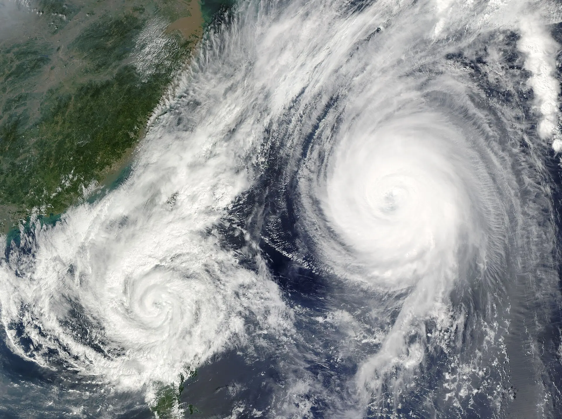
The Meteosat Third Generation Imager 2 (MTG-I2) satellite's ability to provide high-resolution images every 2.5 minutes significantly enhances the real-time data flow, which is vital for environmental risk monitoring and early warning systems. This unprecedented rapid data stream has the potential to empower decision-makers with much more current and effective information about storms and other climate-related disasters, strengthening proactive response capabilities.
A Leap Forward in Next-Generation Meteorological Observation: MTG-I2
Developed by EUMETSAT, Europe's meteorological satellite agency, and launched on August 27, 2026, the Meteosat Third Generation Imager 2 (MTG-I2) marks a new era in satellite technology. The satellite is expected to become fully operational in the second quarter of 2027. Once fully operational, it will provide a "rapid scan service," delivering high-resolution images of the atmosphere over Europe and North Africa every two and a half minutes. ^1^
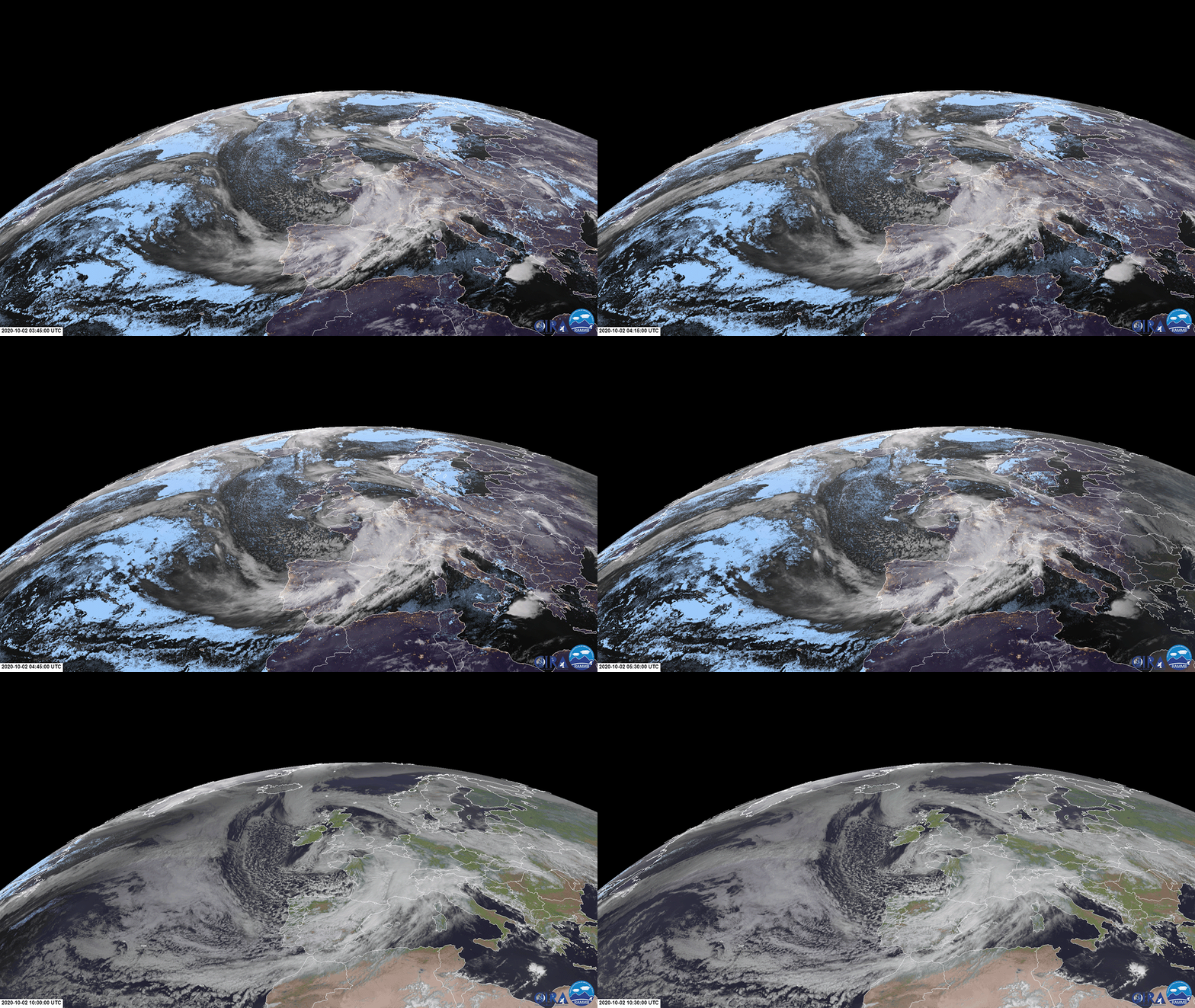
Two months after launch, on October 20, 2026, EUMETSAT released MTG-I2's first full-disk image and an animated preview showcasing its rapid scanning capability. Captured from 36,000 km, these images detailed complex cloud formations across Europe, Africa, and the Atlantic. ^2^ Such imagery offers meteorologists the ability to monitor rapidly evolving hazardous weather conditions much more closely and provide earlier, more precise warnings. Phil Evans, Director-General of EUMETSAT, emphasized that in an era where extreme events are becoming more frequent and intense, rapid scanning will enable weather forecasters and emergency services to detect hazards with greater precision and act more quickly. ^2^
MTG-I2's Observation Capabilities
MTG-I2 is designed to monitor the development of atmospheric events in near real-time. The satellite will aid in observing numerous hazardous conditions such as thunderstorms, dense fog, and dust clouds. For example, animations showing the development of deep convective clouds over the Northwest Sahara on November 3-4, 2026, demonstrated MTG-I2's capabilities. The images offer high-resolution visible and infrared features that facilitate tracking storms. ^1^
Infrared images reveal the temperatures and heights of cloud tops, while visible images show details of cloud structure and texture. These features help in understanding a storm's intensity and its impact on the ground. Furthermore, MTG-I2's observation of Storm Agneta, which brought heavy rainfall to southern Italy on November 2, 2026, demonstrated that the satellite's combination of high spatial detail and rapid imaging enables excellent observation of such storms and their evolution. ^1^

The Importance of Remote Sensing and Real-Time Data
Remote sensing technologies are critical tools that allow us to observe the Earth's surface and atmosphere without human presence. Satellites collect information by detecting reflections or emissions in different electromagnetic spectrum bands via their sensors. Advanced meteorological satellites like MTG-I2 specifically monitor parameters such as cloud formations, atmospheric temperatures, and humidity in detail, utilizing visible and infrared bands.
Visible band images provide visual information about the shape, size, and texture of clouds, while infrared band images measure cloud top temperatures, offering crucial clues about their heights and vertical development. The vertical development of a storm is a significant indicator for severe weather events; colder and higher cloud tops are typically associated with stronger storms. Updating this data every 2.5 minutes enables instantaneous tracking of rapidly developing storms, hurricanes, or potential flash floods. Previously, monitoring such events occurred at longer intervals, limiting response times. With high-frequency data, every stage of an event can be observed, allowing for quicker and more accurate warnings against suddenly emerging threats.
This speed and level of detail make it possible to monitor not only storms but also the spread of wildfire smoke plumes, the formation of dense fog, and the movement of dust storms much more effectively. In the event of a wildfire, the direction and speed of smoke dispersion can be instantaneously determined with rapidly updated imagery; this is vital for evacuation and firefighting strategies. The sudden intensification or dissipation of fog requires immediate information for traffic safety. The capacity introduced by MTG-I2 elevates the role of remote sensing in environmental risk management to a revolutionary level.
Practical Solutions and Early Warning for Decision-Makers
The real-time, high-frequency data provided by next-generation meteorological satellites like MTG-I2 offers invaluable benefits for a wide range of decision-makers, from municipalities to energy utilities, insurance companies, and the agriculture and mining sectors. According to EUMETSAT, this unprecedented frequency will help forecasters monitor rapidly evolving weather hazards more closely and support earlier, more precise warnings. ^2^
Given the increasing frequency and intensity of extreme weather events, this data is critical for flood management, energy infrastructure protection, agricultural planning, and disaster response operations. Considering that rapidly developing storms can lead to heavy rainfall, hail, strong winds, and flash floods, more timely observations support earlier and more precise warnings, aiding emergency response; this includes forest fires. ^2^
These rapid and frequent data streams are also of great importance to companies like Smart City & Partners, which process satellite data with artificial intelligence to produce environmental risk monitoring and early warning solutions. Current and detailed information increases decision-makers' capacity to respond more effectively to climate-related challenges. For instance, energy and water utilities can make more robust plans by correlating dam levels or risks to power lines with instantaneous weather changes. The insurance and finance sectors can assess disaster risks more accurately, accelerate damage assessment, and improve risk models. Municipalities and environmental agencies can proactively manage climate-related disaster risks, and more accurately monitor air quality and carbon sinks. The new generation observation capability offered by MTG-I2 will play a fundamental role in shaping the smart cities and sustainable management of the future.