
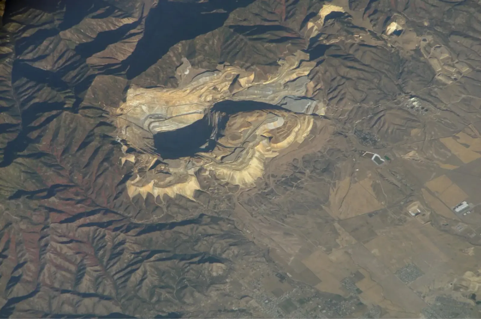
EyeOnBlue Structure · Infrastructure and mining
EyeOnBlue Structure uses InSAR to monitor ground and structural movement at open-pit mines, dams, energy and transport corridors and industrial sites. It spots movements too small to see by eye, early, and improves site safety.
Image: NASA · ISS
Millimetre-scale
Surface deformation sensitivity with InSAR
Cloud-independent
Radar (SAR) observation day and night, in any weather
Time series
Subsidence and slope movement analysis from past to present
Zero field devices
Remote tracking without installing hardware
InSAR compares radar images of the same place taken at different times to measure how much the ground has risen or subsided. Because radar sees through clouds and at night, the measurement does not depend on the weather.
This lets you monitor an entire large area regularly without sending crews into the field, and prioritise the spots where movement is accelerating. Maintenance and investment decisions are based on data rather than guesswork.
Track movement on slopes and benches to see slope-failure risk early.
Follow deformation of the dam body and its surroundings regularly.
Monitor ground settlement along power lines, pipelines, motorways and railways.
Detect subsidence and settlement under buildings and facilities.
Spot accelerating movement early and gain time to act.
Monitor large areas without site visits and send crews only where they are really needed.
Use the satellite archive to see how long a movement has been going on.
Base maintenance and investment decisions on measured data.
Together we define the mine, dam, corridor or facility to monitor.
We calculate how the ground rises and subsides over time from radar images.
Movements above agreed thresholds are shown on the map and reported to you.
A method that measures ground movement by comparing radar images of the same place taken at different times. Clouds and darkness do not block the measurement.
No. Measurements are made from space. Existing on-site instruments can be used to validate the results.
Yes. Satellite archives make it possible to study how an area moved in previous years.
Any area where ground movement matters: mines, dams, energy and transport corridors, urban areas and industrial sites.
We'll build an InSAR analysis plan tailored to your site's size and monitoring period.
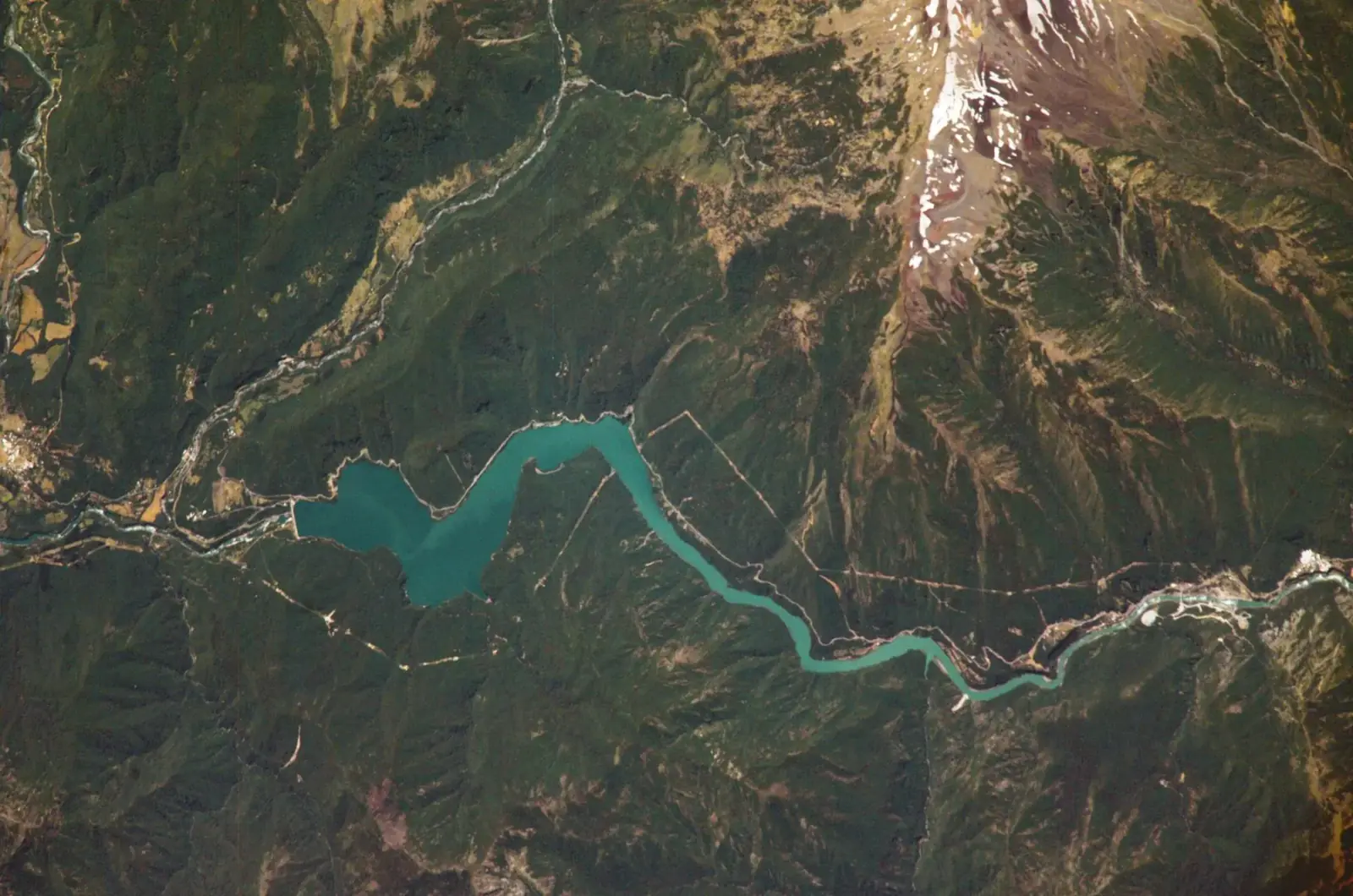 Water resources and catchment management
EyeOnBlue Aqua offers satellite- and AI-based catchment management for drinking-water catchments, reservoirs, hydropower plants and water conveyance lines. It forecasts how much water will flow into the catchment, and regularly tracks water surface area, water quality and shoreline change.
Explore the module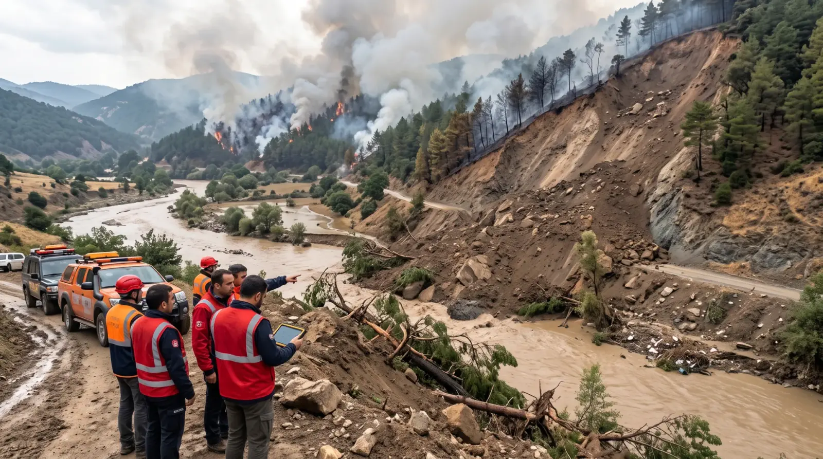 Disaster and climate risks
EyeOnBlue Risk is a risk analysis portal that continuously updates climate-related disaster risks such as wildfire, flood, drought and landslide with satellite data and shows them on one screen.
Explore the module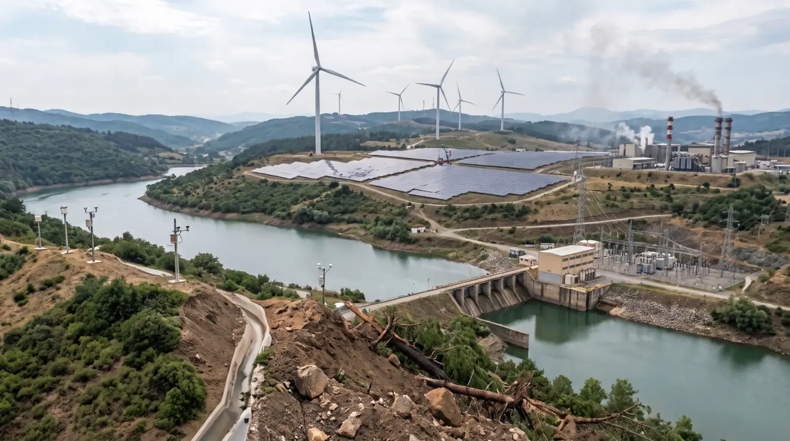 Energy generation
EyeOnBlue Utility is an integrated, five-component solution for energy generation sites. It brings asset management, performance tracking, environmental monitoring, risk and early warning, and energy efficiency into one platform.
Explore the module