
EyeOnBlue processes satellite data with artificial intelligence to monitor large areas regularly and flag change early. Each module is designed for the needs of one sector; all of them share the same data and analytics backbone.
The EyeOnBlue platform family
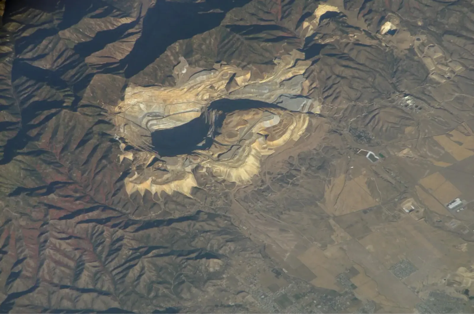 Infrastructure and mining
EyeOnBlue Structure uses InSAR to monitor ground and structural movement at open-pit mines, dams, energy and transport corridors and industrial sites. It spots movements too small to see by eye, early, and improves site safety.
Explore the module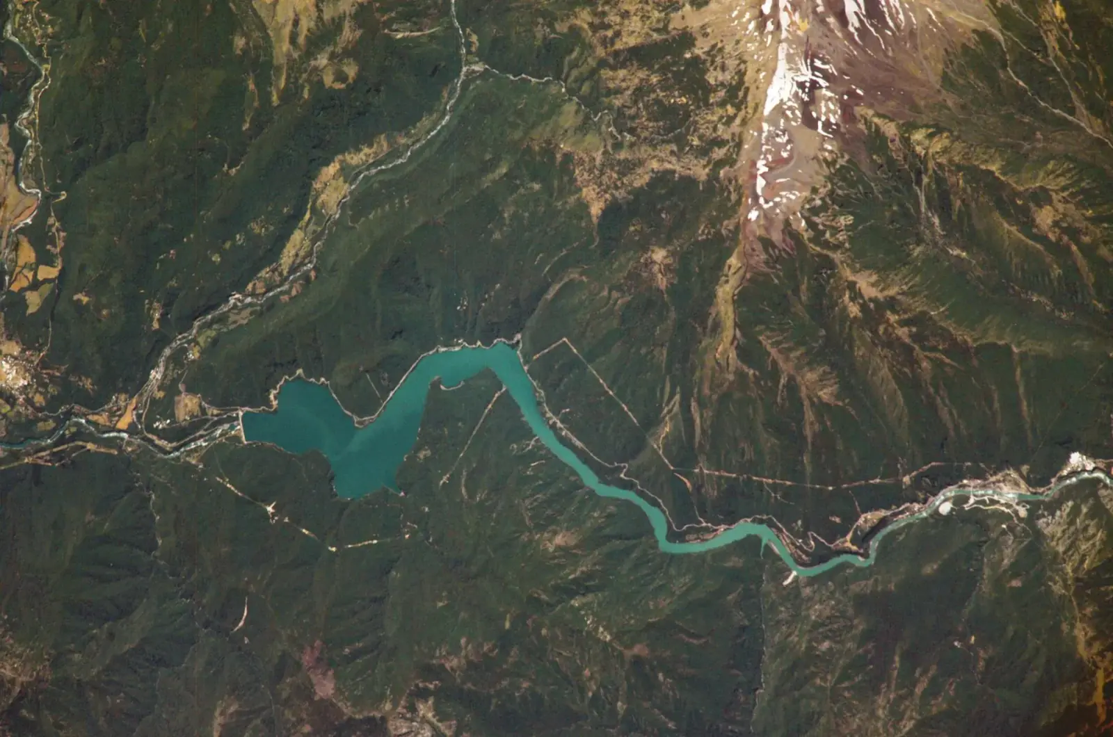 Water resources and catchment management
EyeOnBlue Aqua offers satellite- and AI-based catchment management for drinking-water catchments, reservoirs, hydropower plants and water conveyance lines. It forecasts how much water will flow into the catchment, and regularly tracks water surface area, water quality and shoreline change.
Explore the module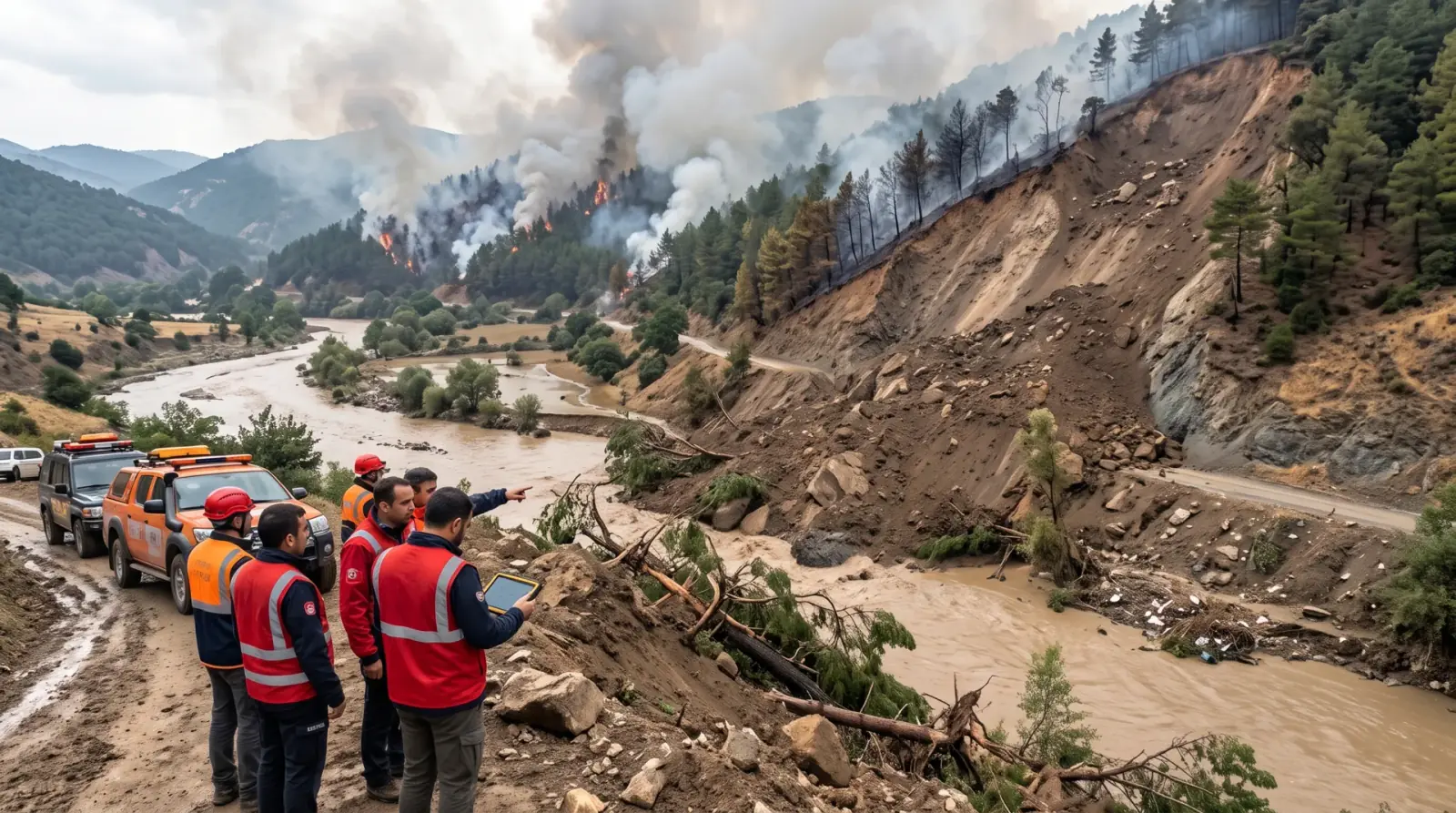 Disaster and climate risks
EyeOnBlue Risk is a risk analysis portal that continuously updates climate-related disaster risks such as wildfire, flood, drought and landslide with satellite data and shows them on one screen.
Explore the module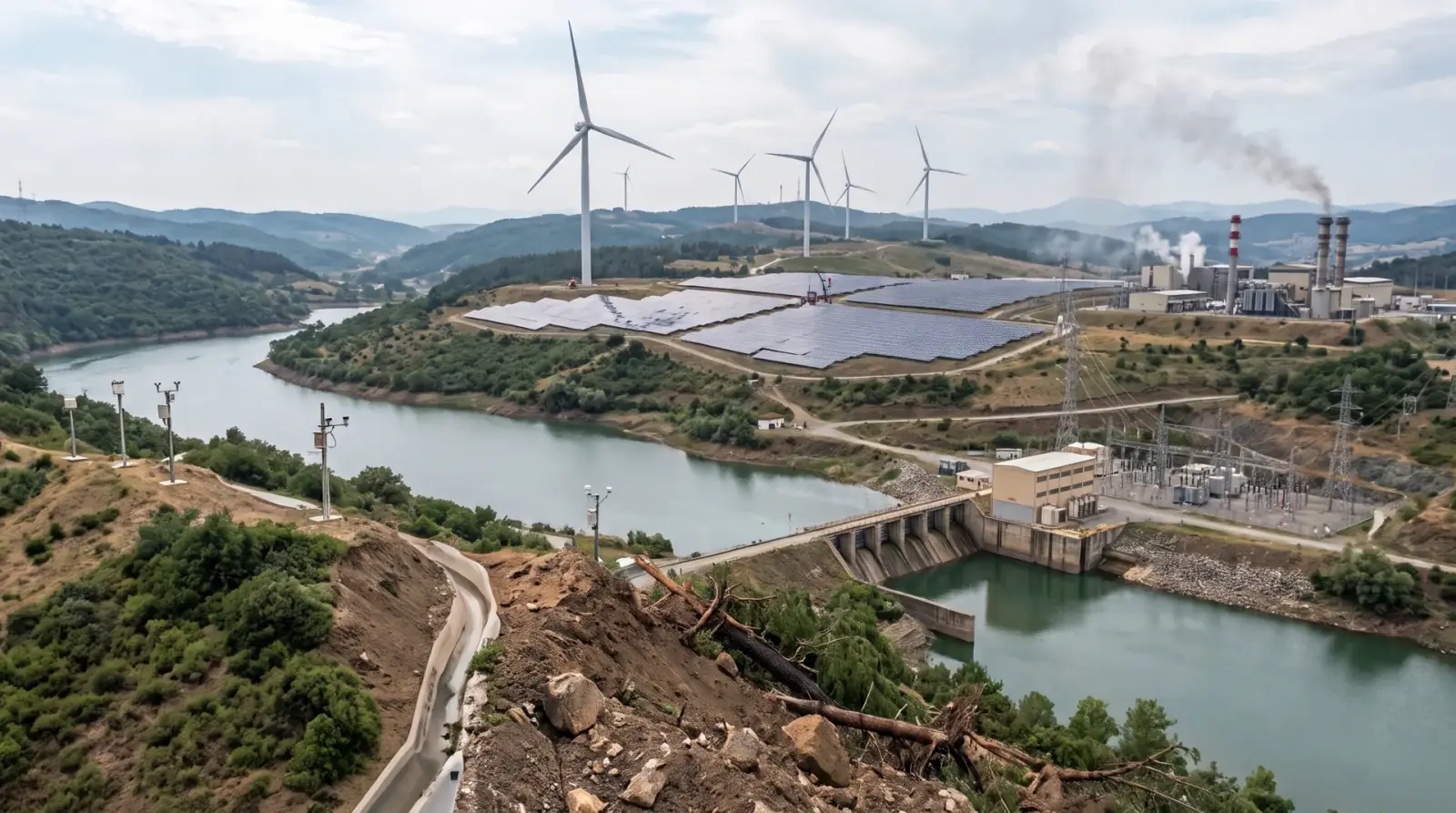 Energy generation
EyeOnBlue Utility is an integrated, five-component solution for energy generation sites. It brings asset management, performance tracking, environmental monitoring, risk and early warning, and energy efficiency into one platform.
Explore the moduleRadar and optical satellites capture the area of interest regularly. Radar satellites can see through clouds and at night.
Images are compared over time, and changes in ground motion, water extent, vegetation or risk indicators are detected automatically.
Results appear on one screen as maps and charts, and you are alerted when a change needs attention.

Tell us the area you want to monitor and what you need; we will prepare a tailored demo and sample analysis.