
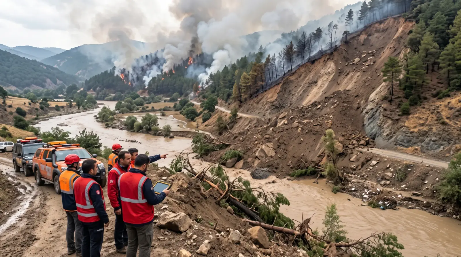
EyeOnBlue Risk · Disaster and climate risks
EyeOnBlue Risk is a risk analysis portal that continuously updates climate-related disaster risks such as wildfire, flood, drought and landslide with satellite data and shows them on one screen.
4 main hazard types
Wildfire, flood, drought and landslide on one screen
Multi-layer AI
Fusion of satellite, weather and topographic data
Early response
Pre-disaster risk mapping and resource planning
Rapid damage mapping
Automatic extraction of affected areas after a disaster
Risk comes from many indicators together: how dry the vegetation is, soil moisture, rainfall, temperature and terrain. EyeOnBlue Risk calculates these indicators regularly from satellite and weather data.
You can analyse any time range, download chart data and reach the latest risk information quickly. High-risk areas are mapped before a disaster, and affected areas after it.
See areas with high fire risk in advance based on dryness and weather.
Map flood-prone areas and inundated zones.
Monitor long-term changes in vegetation and soil moisture.
Assess landslide risk from slope, rainfall and ground movement.
See high-risk areas before a disaster and prioritise preparation and prevention.
Follow different hazard types on one screen.
Identify affected areas quickly after a disaster and guide response teams.
Download the data and use it in your own reports.
We regularly calculate risk indicators from satellite and weather data.
We combine the indicators into a risk map for each hazard type.
Maps are updated as new data arrives, highlighting where risk is rising.
Climate-related hazards such as wildfire, flood, drought and landslide.
Whenever new satellite and weather data arrives; the frequency depends on the data source and region.
Yes. You can download chart data for the time range you select.
We'll set up early warning and risk monitoring tailored to your organisation's area of responsibility.
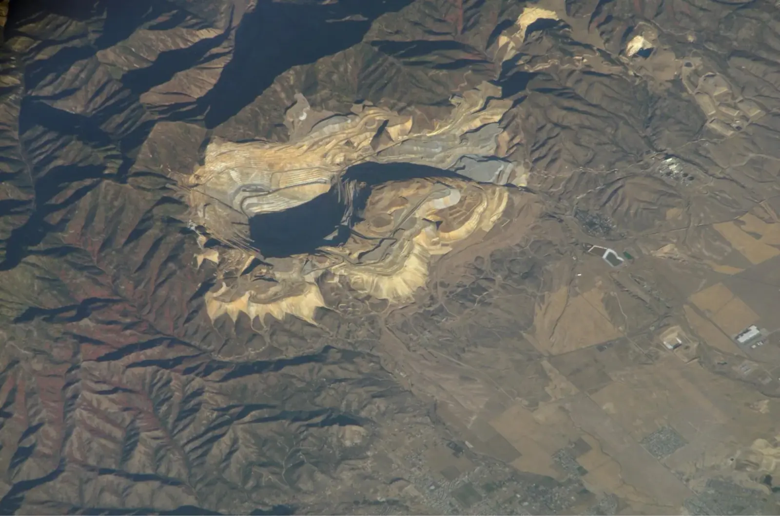 Infrastructure and mining
EyeOnBlue Structure uses InSAR to monitor ground and structural movement at open-pit mines, dams, energy and transport corridors and industrial sites. It spots movements too small to see by eye, early, and improves site safety.
Explore the module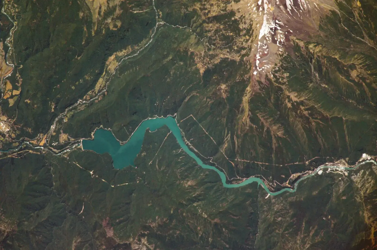 Water resources and catchment management
EyeOnBlue Aqua offers satellite- and AI-based catchment management for drinking-water catchments, reservoirs, hydropower plants and water conveyance lines. It forecasts how much water will flow into the catchment, and regularly tracks water surface area, water quality and shoreline change.
Explore the module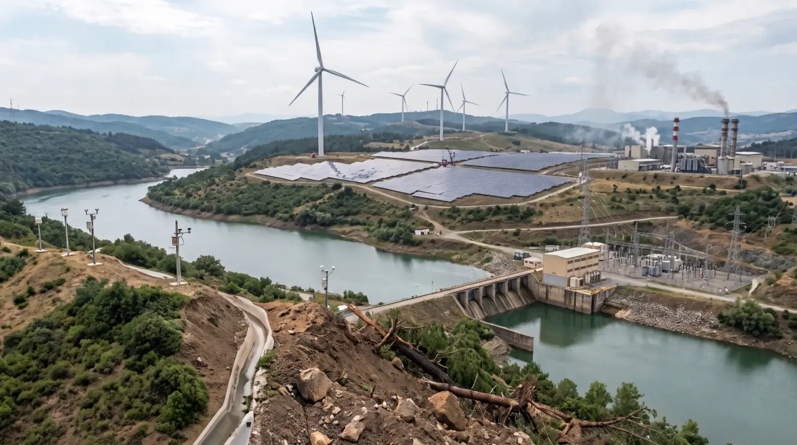 Energy generation
EyeOnBlue Utility is an integrated, five-component solution for energy generation sites. It brings asset management, performance tracking, environmental monitoring, risk and early warning, and energy efficiency into one platform.
Explore the module