
EyeOnBlue Aqua · Water resources and catchment management
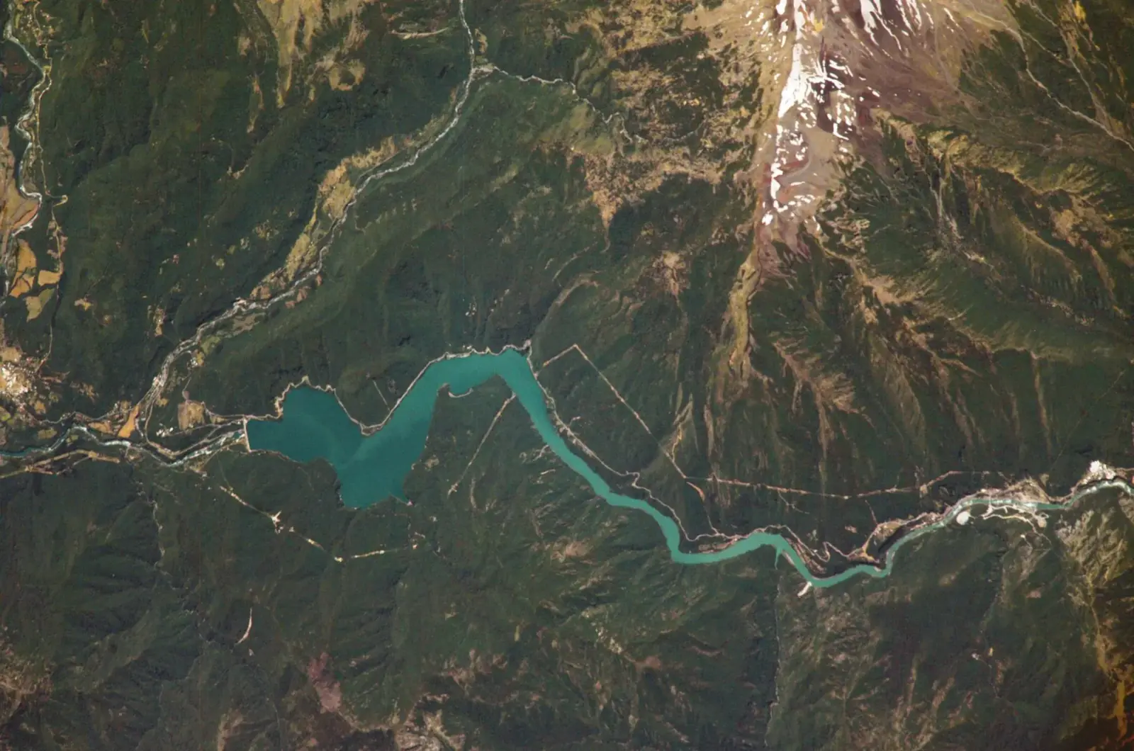
EyeOnBlue Aqua offers satellite- and AI-based catchment management for drinking-water catchments, reservoirs, hydropower plants and water conveyance lines. It forecasts how much water will flow into the catchment, and regularly tracks water surface area, water quality and shoreline change.
Image: NASA · ISS
AI forecasting
Seasonal inflow forecasting
10+ year archive
Drought and trend analysis with historical satellite data
Every 2–6 days
Regular water surface tracking with optical and radar satellite passes (quality on cloud-free days)
Catchment scale
Monitoring thousands of km² without physical sensors
The water reaching a catchment depends on rainfall, snow cover, how wet the soil is and temperature. EyeOnBlue Aqua collects this information from satellite and weather data and uses AI models to forecast how much water may flow into the catchment and reservoir in the coming period. Human influence in the catchment is taken into account too: withdrawals for irrigation and drinking water, expanding irrigated land, urbanisation and land-use change all shape the water budget.
It also derives from satellite images whether the water area is shrinking or growing, and from the colour of the water, water-quality indicators such as algae concentration and turbidity. Water authorities can prepare for droughts and floods and plan water use better.
Forecast with AI how much water will flow into the catchment and reservoir in the coming period.
Follow changes in water surface area and filling trends.
Notice rising indicators such as algal blooms and turbidity early.
See the incoming water in advance to plan generation and water use.
Knowing the incoming water in advance, you plan drinking water, irrigation and power generation better.
You prepare for droughts and floods ahead of time.
You notice water-quality deterioration early and gain time to respond.
You see the water situation regularly and at scale, without site visits.
Together we define the catchment, reservoir or lake to monitor.
Using satellite and weather data we forecast inflow and calculate water extent and quality.
Forecasts and significant changes are shown in maps and charts, with alerts when needed.
Rainfall, snow cover, soil moisture and temperature are taken from satellite and weather data; AI models use them to forecast the water flowing into the catchment.
Yes. Expanding irrigated land, urbanisation and land-use change are monitored with satellite data, and abstraction records are added to the model when available. The forecast therefore reflects human use in the catchment, not only natural conditions.
The colour of water changes with the amount of algae and suspended matter in it. Water-quality indicators are calculated from these colour differences in satellite images.
Optical images are affected by clouds; for water extent, radar images that see through clouds are also used.
It complements them. Existing flow and laboratory measurements are used to validate and improve the models.
Let's discuss the scope of satellite-based monitoring for your reservoir, lake or catchment.
 Infrastructure and mining
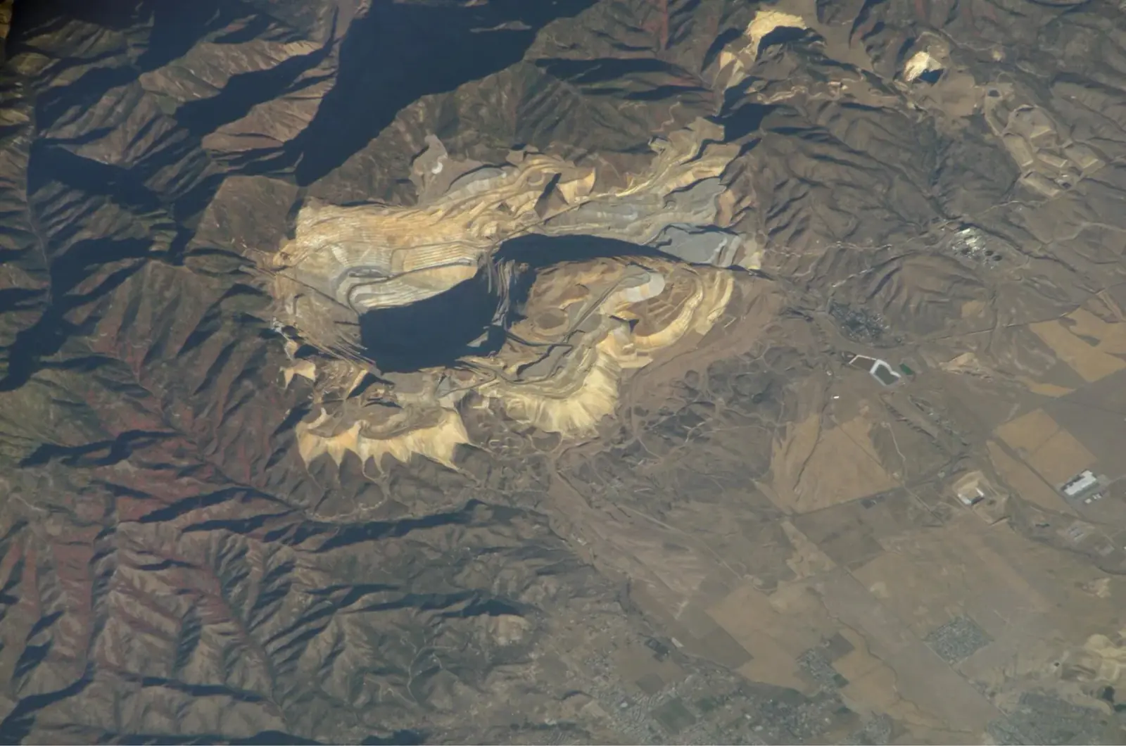
EyeOnBlue Structure uses InSAR to monitor ground and structural movement at open-pit mines, dams, energy and transport corridors and industrial sites. It spots movements too small to see by eye, early, and improves site safety.
Explore the module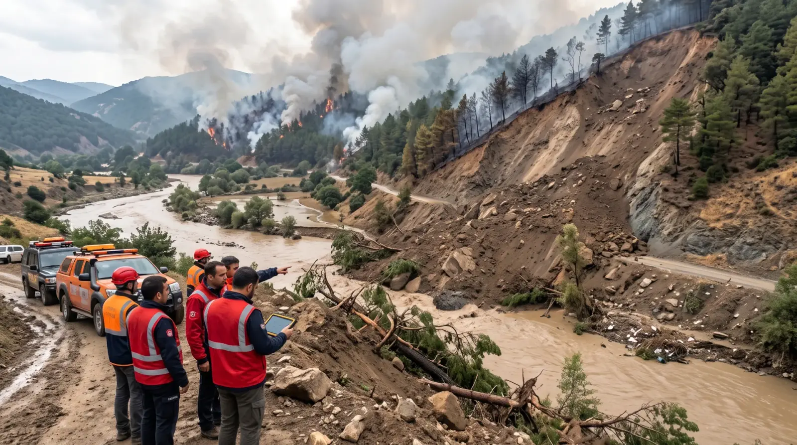 Disaster and climate risks
EyeOnBlue Risk is a risk analysis portal that continuously updates climate-related disaster risks such as wildfire, flood, drought and landslide with satellite data and shows them on one screen.
Explore the module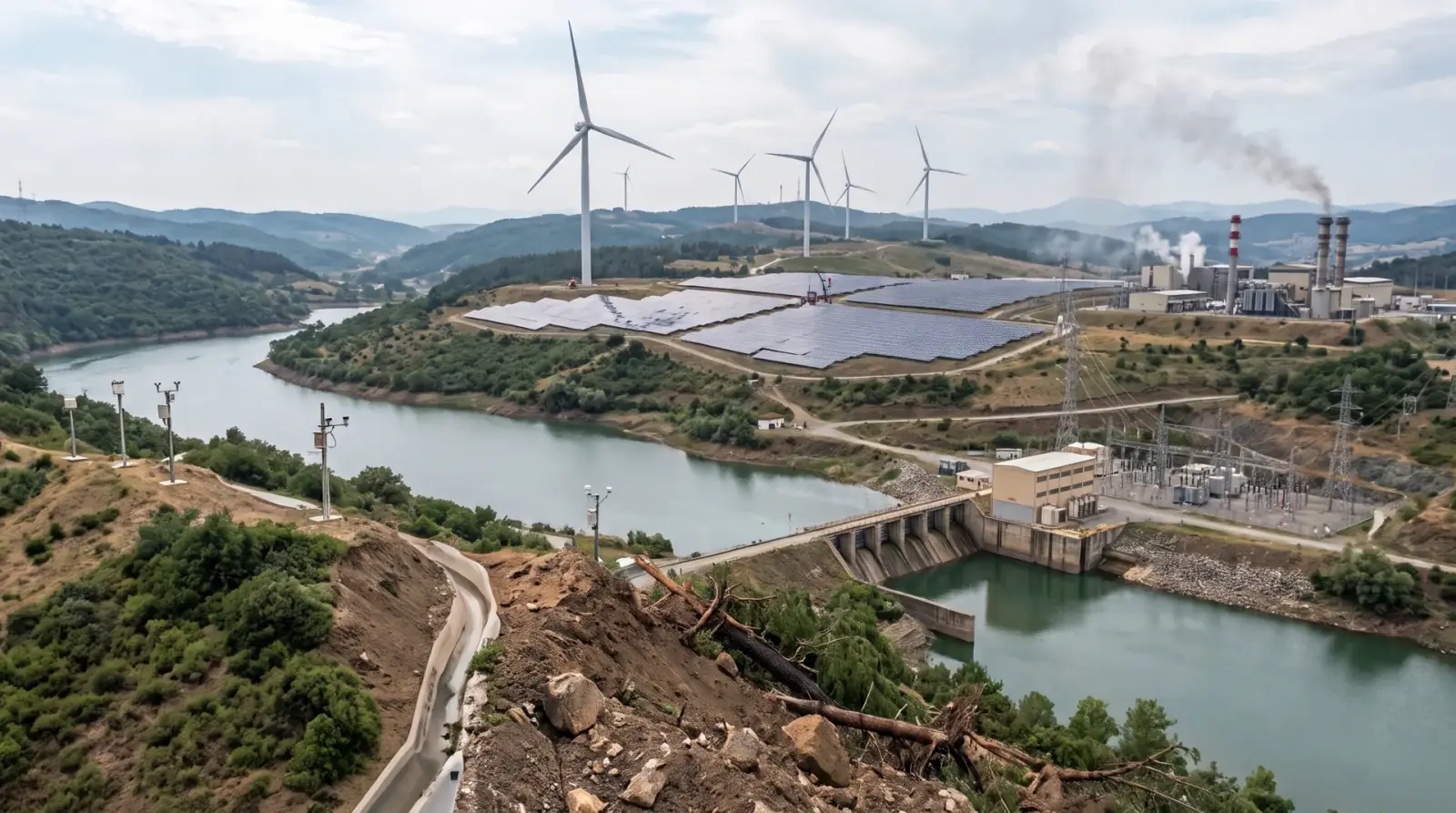 Energy generation
EyeOnBlue Utility is an integrated, five-component solution for energy generation sites. It brings asset management, performance tracking, environmental monitoring, risk and early warning, and energy efficiency into one platform.
Explore the module