AYDA Project Launched with AEDAŞ: Wildfire-Resilient Energy Infrastructure
1 min readSmart City & Partners
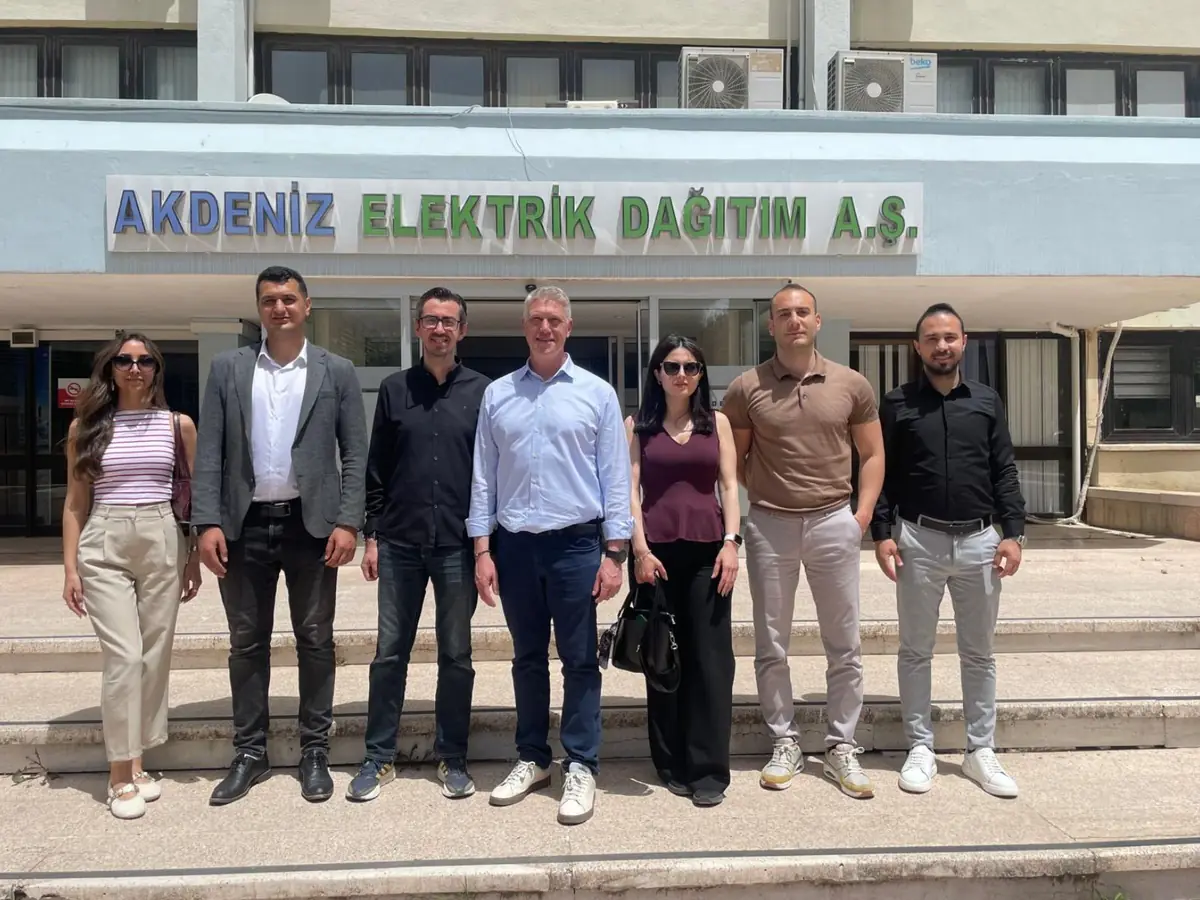
Together with CK Enerji Akdeniz Elektrik Dağıtım A.Ş. (AEDAŞ), we held the kick-off meeting of our AYDA project (Mediterranean Wildfire-Resilient Infrastructure Satellite Observation and Management System). It is more than the start of a project: it is an important step towards a more resilient energy infrastructure in the Mediterranean.
What does the AYDA project aim to do?
The project combines satellite data, meteorological analysis and AI-based approaches. Its goals fall under three headings:
- Monitoring wildfire risk: regularly tracking fire risk driven by vegetation, drought and weather conditions with satellite data.
- Protecting energy infrastructure: developing decision support mechanisms for risks around distribution lines and facilities.
- Supporting field operations: directing maintenance and response teams to priority areas on the basis of data.
Why satellite-based wildfire risk monitoring?
Along the Mediterranean coast, forests and power distribution lines are often intertwined. Monitoring such large and rugged areas continuously with field teams alone is difficult. Satellite-based disaster monitoring observes large regions at regular intervals with the same method. Combined with weather data and AI models, these observations become a decision support tool that shows in advance where risk is rising.
Seeing the invisible, together at every moment
In AYDA we use our data-driven technology to "see the invisible", while laying the foundations of an infrastructure that lets teams act "together at every moment" in the field. The project draws on the energy infrastructure monitoring and disaster risk analysis capabilities of our EyeOnBlue platform.
To learn more about satellite-based risk monitoring for your energy infrastructure, get in touch with us.